

5 NEW Hikes to Explore Around the South
Ready to explore the South like never before? We’ve rounded up five new Southern hikes to add to your bucket list! Image: Facebook / G5 Trail Collective
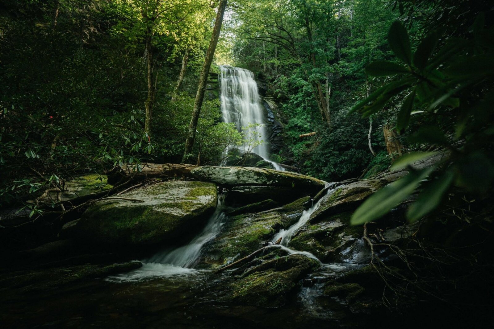
We Southerners love our wilderness. Ongoing conservation efforts continue to expand the South’s incredible network of awe-inspiring trails, inviting hikers to explore the Southern backwoods in brand new ways. Recently debuted trails, some decades in the making, introduce previously inaccessible peaks, views, water features, and historical sites spanning the mountains and the seas, while connecting the backcountry in between. Lace up those hiking boots and get ready to hit the trail — here are our top picks for new hikes in the South!
Petit Jean Via Ferrata
Location: Morrilton, Arkansas
More Info: frontierclimbingcompany.com
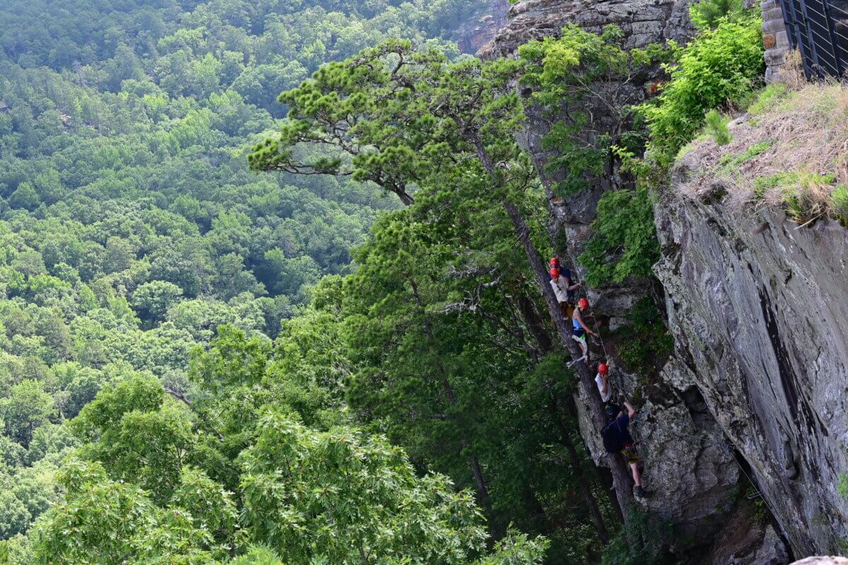
There’s a brand new way to explore Arkansas’s first state park. Petit Jean State Park, located a little over an hour northwest of Little Rock, just opened a via ferrata along its rugged mountain cliff face. A via ferrata (Italian for iron path) is a protected climbing route that uses ladders, metal cables, and iron rungs fixed to rock surfaces to make climbing safer and more accessible.
Via ferratas combine climbing and hiking for a whole new outdoor experience, and the Petit Jean Via Ferrata is the first in the country to be installed at a state park.
“For more than a century, people have come to Petit Jean to explore. Now we’re giving them an entirely new way to experience this remarkable mountain,” says Secretary of the Arkansas Department of Parks, Heritage, and Tourism, Shea Lewis. “It’s exactly the kind of experience we want to create in our state parks: distinctive, adventurous, and rooted in the landscape.”
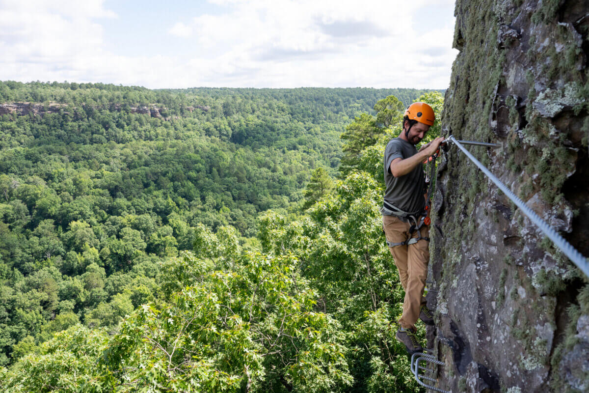
Open to all skill levels, the via ferrata is accessible only by a guided climb with Frontier Climbing Company. You’ll spend three hours on the half-mile route, which includes suspension and footbridges, a sky ladder, sections of single-line aerial cables, and ledge traverses. Along the way, you’ll take in the best views of the park in a truly one-of-a-kind experience.
Breaks Interstate Park Trails
Locations: Kentucky + Virginia
More Info: breakspark.com
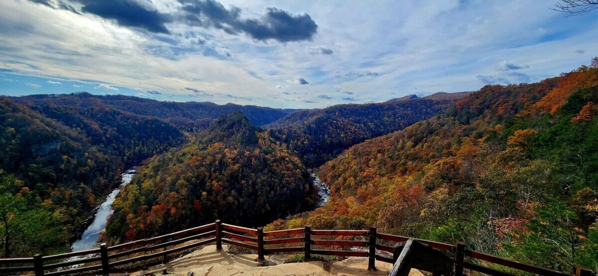
Along the Virginia-Kentucky border, Breaks Interstate Park offers a treasure trove of outdoor adventures deep in the Appalachian Mountains. Often referred to as Breaks Park, it has also been dubbed The Grand Canyon of the South thanks to Breaks Canyon — the deepest gorge east of the Mississippi River.
This year, Breaks Park added six miles of new trails that traverse the Kentucky-Virginia backcountry. Six miles might sound like a small addition, but the new trails pack quite a punch.
The trails cover everything from a new scenic overlook along the ridge all the way down to the bottom of the gorge, with easier-access routes to Grassy Creek and other popular spots. You can even take a hike back in time to mining and lumbering sites dating back to the 1800s.
Two new swinging bridges were also part of the expansion, providing a whole new view along the bottom of the Breaks Trail.
Boyd Passage on the Palmetto Trail
Location: Columbia, South Carolina
More Info: palmettotrail.org
The Palmetto Trail is nothing new. Born from the Palmetto Conservation Foundation to protect and conserve South Carolina’s natural beauty, history, and culture, the trail has been in the works for more than 30 years.
The dream was and remains to forge a footpath that spans the length of the state, and the completion of Boyd Passage last year was one big step closer to making that dream a reality. Boyd Passage is a 26-mile section connecting Fort Jackson to the Wateree River, rounding out the 218-mile stretch from the state capital all the way to Awendaw on the coast.
Boyd Passage journeys from bottomland forests to the top of Cook’s Mountain and back down to the beautiful Wateree River. To the west of the new passage, you’ll follow the rolling hills to Columbia. Heading east, you’ll traverse to swampy cypress forests and coastal fishing inlets. Ultimately, the Palmetto Conservation Foundation hopes the trail will cover more than 500 miles across the state, offering the best of South Carolina’s diverse landscapes.
River to Clouds Route
Locations: Rising Fawn, Georgia, to Chattanooga, Tennessee
More Info: rivertocloudsroute.org
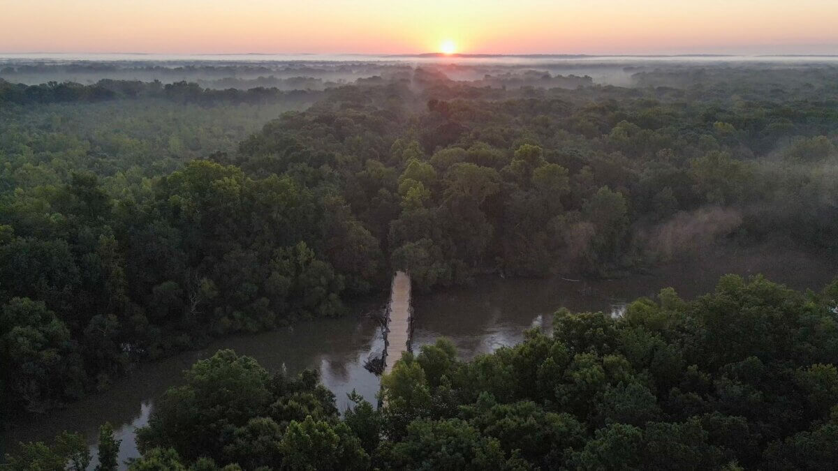
The River to Clouds Route opened in 2023, and it’s a bucket-list-worthy hike for anyone wanting to explore the most beautiful backcountry in the region. It spans 34 miles from Cloudland Canyon State Park in Georgia and traverses Lookout Mountain all the way to the Chattanooga greenway.
Anyone familiar with the area knows what they’re in for on the trail: cascading waterfalls, scenic vistas, rocky outcroppings, tumbling streams, and historical sites scattered along the way. It’s open to both hikers and cyclists, but be aware that it’s a true backcountry trail, with stretches of demanding, rocky terrain that challenge even the most seasoned trekkers.
The route connects several public lands to create a one-of-a-kind journey through the Appalachian foothills. Be sure to take note of the rules and requirements throughout these lands as you plan your trip, including where to camp.
SB Tip: A $5 pass-through permit is required to access the beautiful Lula Lake Land Trust’s property.
Pisgah National Forest Trails
Location: Grandfather District, North Carolina
More Info: g5trailcollective.org | mountainstoseatrail.org
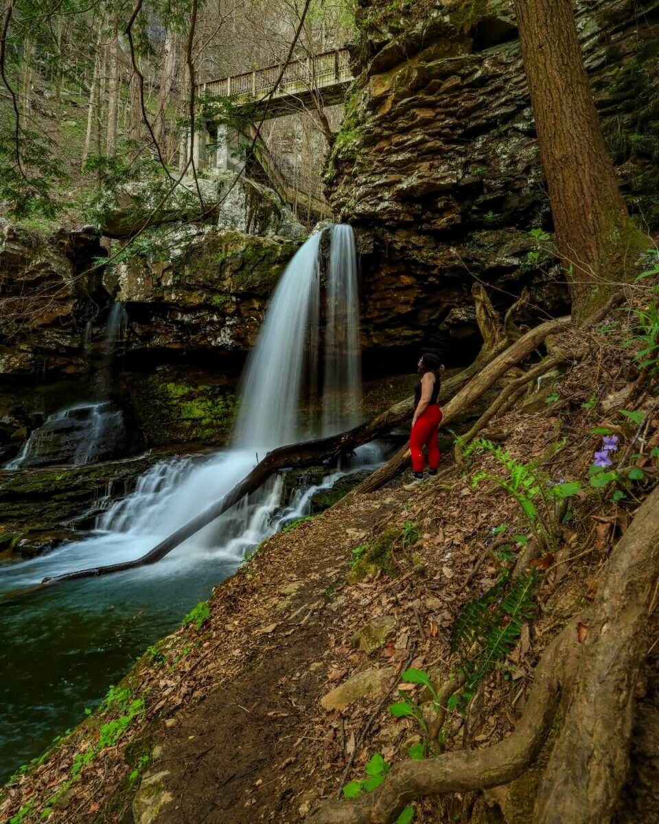
Since 2022, the G5 Trail Collective has been building a network of new trails throughout the Grandfather District of North Carolina, which spans five counties between Asheville and Charlotte. The collective stems from a passion to preserve the surrounding stretch of the Pisgah National Forest while supporting rural communities through trail development and tourism.
Last year, eight miles of new trails were added to the collective’s ongoing Old Fort Trail expansion in McDowell County.
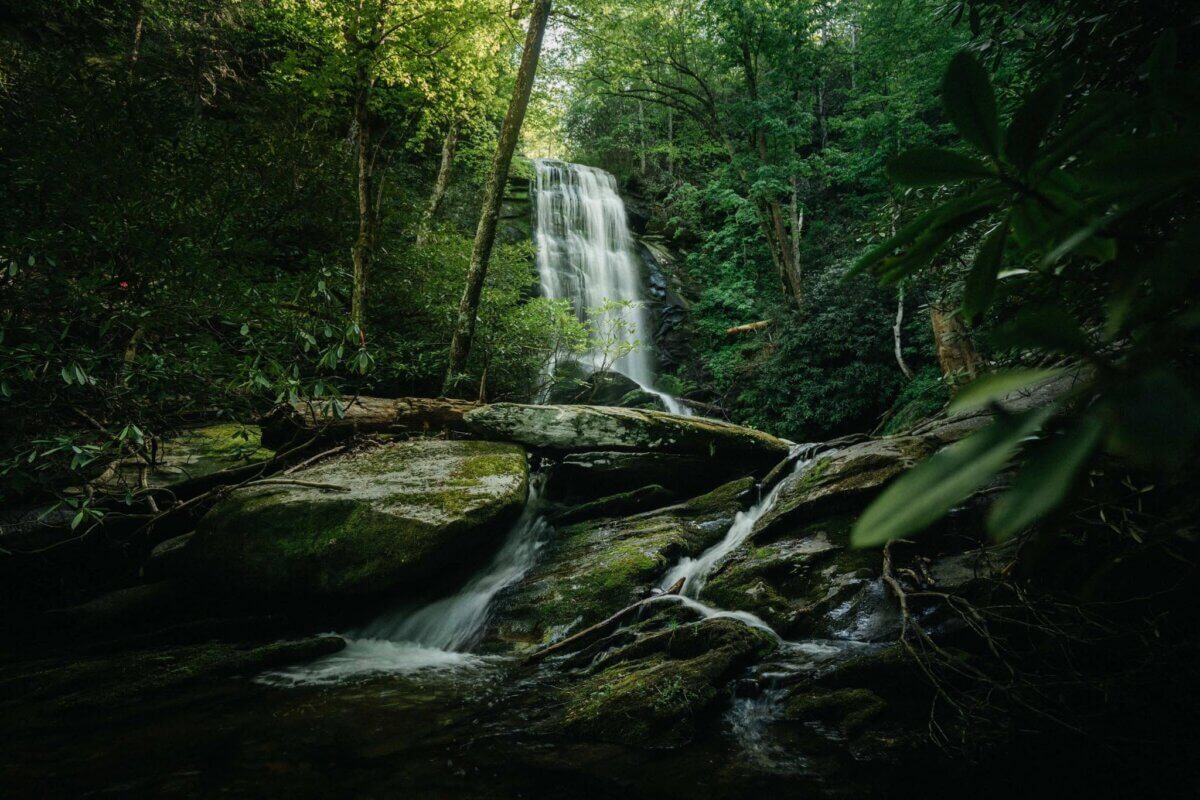
These trails mark a new chapter for the region. In 2024, Hurricane Helene wiped out much of the progress G5 and its partners had made on the trail system, requiring them to refocus their efforts on clearing out the damage before starting anew.
Highlights of the newly added trails include sweeping views of the Catawba River valley and Old Fort town, as well as stunning vistas of Heartbreak Ridge and Camp Grier valley from a rugged rock outcrop. Many of the trails are open for hiking, biking, and horseback riding.
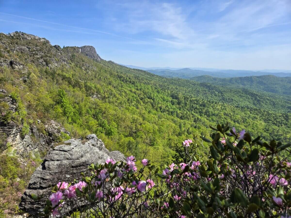
But that’s not all. About 90 minutes north of Old Fort, the Mountains-to-Sea Trail network also recently debuted a new reroute of Linville Gorge near Table Rock, opening up a whole new vista for hikers. The Mountains-to-Sea trail currently spans 725 of nearly 1,200 planned miles of footpaths, stretching from the Kuwohi Trailhead (also known as Clingmans Dome) in the Great Smoky Mountains to the dunes at Jockey’s Ridge State Park on the Outer Banks.
Enjoy your hiking adventures!
**********
For the best of the South, subscribe to our daily emails!

Katie Leigh Matthews
A Birmingham native, Katie is a lifelong waterfall chaser and is passionate about the outdoors. She also loves connecting with remarkable women in the Birmingham community and bringing their stories to life. Katie has been writing professionally for over six years; you can find more of her work at Moms.com and Islands.com.